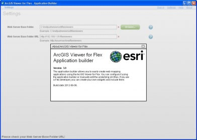
The ArcGIS Viewer for Flex is a configurable web mapping application that can be easily configured, modified, and extended.
ArcGIS Viewer for Flex provides a smart, intuitive framework for looking at and interacting with maps. It is a configurable web application that allows you to easily build your own custom mapping application in just a few minutes, with no programming required.
You can:
- Choose a basemap from Esri's extensive basemap collection.
- Add map layers to the basemaps.
- Apply your own branding by adding your personalized title, logo, and color themes.
- Extend the viewer by creating custom widgets for map behaviors, functionality, and layouts.
ArcGIS Viewer for Flex is supported with:
- In-depth help on installation, configuration, deployment, and extending the viewer
- Many samples of functionality with widgets, styles, and more
- An interactive forum to discuss the viewer with your peers
- A code gallery and videos to get you started quickly on your project
- Extensibility through an API reference for developers
Requirements:
- A web browser
- Web server software

Enables you to integrate GIS data and capabilities into your Web applications.

The ArcGIS API for Silverlight enables you to mapping and geocoding.


Comments